
Choquequirao & Machu Picchu
10 Days / 9 Nights
Overview
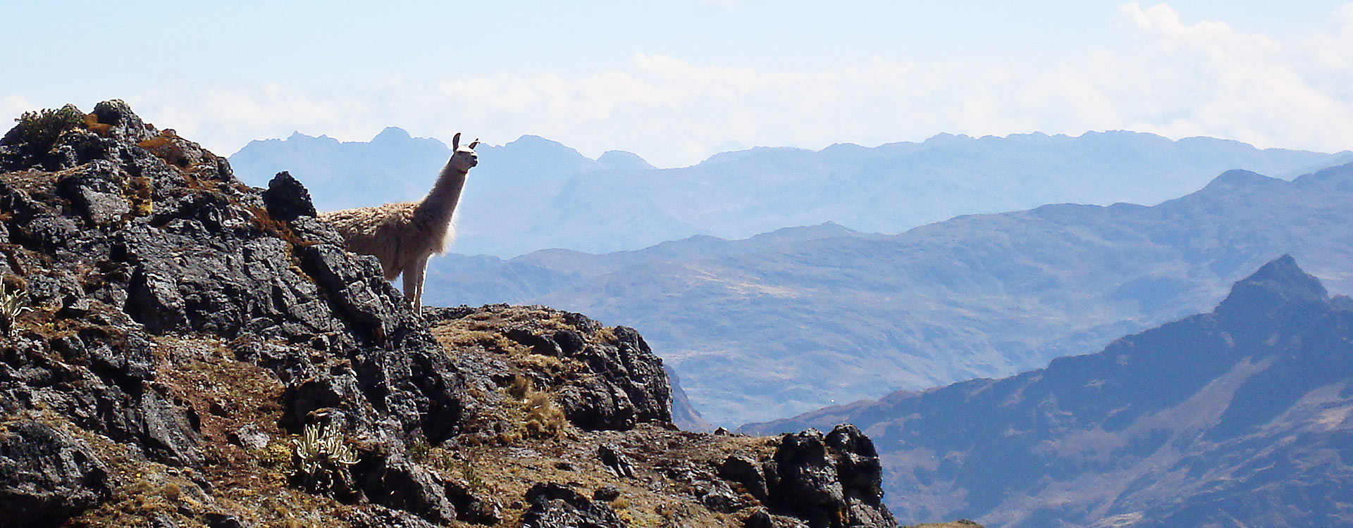
Choquequirao is one of the most beautiful and hard treks that Peru has, is in the Apurimac region and surrounded by imposing mountains and canyons, during the trek of this trek you can feel a variety of climates since its geography is very special.
This trek is designed for people who like hiking and scenery.
The special thing about this trek is that you can see two wonders in a single hike Choquequirao and Machu Picchu, In Machu Picchu the last day after your guiding tour you will wait for the train and return to the city of Cusco.
- Duration: 10 days
- Arrival: Daily
- Departure: Daily
- Destinations: Choquequirao, Aguas Calientes, Machu Picchu, Cusco
- Activities: Hiking, Archaeological, Cultural, Ecological, Adventure, Camping.
| DAY | DESCRIPTION | MEALS | OVERNIGHT |
|---|---|---|---|
|
Day 1 |
Choquequirao Trek: Cusco to Chikiska |
(L) (D) |
Camping
|
|
Day 2 |
Choquequirao Trek: Chikiska to Choquequirao |
(B) (L) (D) |
Camping
|
|
Day 3 |
Choquequirao Trek: Choquequirao |
(B) (L) (D) |
Camping |
|
Day 4 |
Choquequirao Trek: Choquequirao to Pinchaunuyoq |
(B) (L) (D) |
Camping |
|
Day 5 |
Choquequirao Trek: Pinchaunuyoq to Rio Blanco to Maizal |
(B) (L) (D) |
Camping |
|
Day 6 |
Choquequirao Trek: Maizal to Mina Victoria Pass to Yanama |
(B) (L) (D) |
Camping |
|
Day 7 |
Choquequirao Trek: Yanama to Abra Apacheta to Totora |
(B) (L) (D) |
Camping |
|
Day 8 |
Choquequirao Trek: Totora to Colpapampa to Santa Teresa |
(B) (L) (D) |
Camping |
|
Day 9 |
Choquequirao Trek: Santa Teresa to Llaqtapata to Aguas Calientes |
(B) (L) |
Aguas Calientes
|
|
Day 10 |
Machu Picchu Tour & Return to Cusco |
(B) |
———–
|
Breakfast (B)
Lunch (L)
Dinner (D)
Itinerary
Day 1:
Choquequirao Trek: Cusco to Chikiska
Start the day with an early departure to the trail start in Cachora town, located 160 km from Cusco. Walk 3 hours on a fairly flat dirt track to a Capulliyoq lookout point, where you’ll catch glimpse of the Apurimac Rive and the ruins of Choquequirao. Descend on a zigzagging footpath for about 3 hours into the valley where you’ll arrive at the first campsite at Chikisca.
Meals: lunch and dinner
Maximum altitude: 2900 masl / 9514 ft | Minimum altitude: 1860 masl / 6102 ft | Distance travelled: 19 km / 11.80 ml | Approximate walking time: 6 hrs
Day 2:
Choquequirao Trek: Chikiska to Choquequirao
After an early breakfast, start your walk to avoid the worst of the midday sun as you cross the Apurimac River over the Playa Rosalinda bridge and begin the ascent to Choquequirao. Stop for snacks in Santa Rosa and again for lunch in Marampata, where you’ll enjoy views of the river and ruins. Continue on a hilly path until you reach the official campsite.
Meals: breakfast, lunch and dinner
Maximum altitude: 3061 masl / 10043 ft | Minimum altitude: 1836 masl / 6024 ft | Distance travelled: 14 km / 8.69 miles | Approximate walking time: 8 hrs
Day 3:
Choquequirao Trek: Choquequirao
You have the whole day to explore the ruins. Your guide will take you to the principal complex in the morning and to the lower part in the afternoon. Return to the campsite at the end of the day.
Day 4:
Choquequirao Trek: Choquequirao to Pinchaunuyoq
After breakfast, pay another visit to the principal complex and then continue on the trail. You’ll walk uphill through a forest of native trees and then downhill to the Pinchiunuyoq archaeological site. Enjoy lunch and the exceptional views over the Apurimac Valley. Then join your guide to visit the ruins before settling in to the campsite for the night.
Meals: breakfast, lunch and dinner
Maximum altitude: 3300 masl / 10826 ft | Minimum altitude: 2500 masl / 8202 ft | Distance travelled: 4.50 km / 2.97 ml | Approximate walking time: 6 hrs
Day 5:
Choquequirao Trek: Pinchaunuyoq to Rio Blanco to Maizal
Start early before the day heats up. Descend to the Rio Blanco, cross the river, and climb up to the small village of Maizal. You’ll walk through a forest of native trees, where you have the chance to observe various species of birds.
Meals: breakfast, lunch and dinner
Maximum Altitude: 3012 masl / 9881 ft | Minimum altitude: 1500 masl / 4921 ft | Distance travelled: 5.20 km / 3.23 ml | Approximate walking time: 6 hrs
Day 6:
Choquequirao Trek: Maizal to Mina Victoria Pass to Yanama
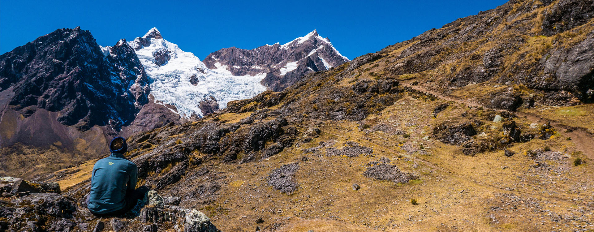
Leave the campsite and proceed on an uphill path on a stone path leading to the high pass at Mina Victoria, where you’ll be treated to exquisite views of snow-capped Choqetacarpo and Pumasillo peaks. Descend to the lunch spot, rest, and then continue to the community of Yanama where you will rest for the night.
Meals: breakfast, lunch and dinner
Maximum altitude: 4200 masl / 13779 ft | Minimum Altitude: 3800 masl / 12467 ft | Distance travelled: 8 km / 4.97 ml | Approximate walking time: 7 hrs
Day 7:
Choquequirao Trek: Yanama to Abra Apacheta to Totora
Wake early to tackle the longest day of the trek, beginning with a climb up the Yanama river ravine which become gradually steeper. As you approach Apacheta Pass, you’ll notice the temperature drop and the vegetation become sparse. Glimpse the stunning peak of Apu Salkantay before beginning a descent into the Totora River Valley. Temperatures will again be warmer at your campsite in Totora town.
Meals: breakfast, lunch and dinner
Maximum altitude: 4600 masl / 15091 ft | Minimum altitude: 2860 masl / 9383 ft | Distance travelled: 18.32 km / 11.38 ml | Approximate walking time: 9 hrs
Day 8:
Choquequirao Trek: Totora to Colpapampa to Santa Teresa
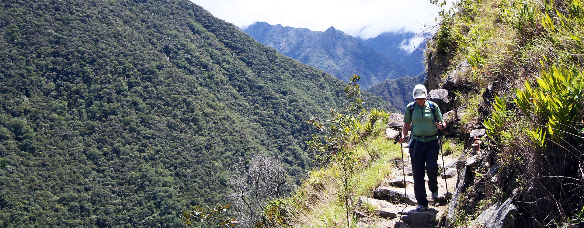
Follow the trail through connecting valleys from Totora to Chalan to Santa Teresa. You’ll see exuberant vegetations and beautiful waterfalls along the way. Arrive in Santa Teresa and your campsite for the night.
Meals: breakfast, lunch and dinner
Maximum altitude: 2860 masl / 9383 ft | Minimum altitude: 2088 masl / 6850 ft | Distance travelled: 8 km / 4.97 ml | Approximate walking time: 6 hrs
Day 9:
Choquequirao Trek: Santa Teresa to Llaqtapata to Aguas Calientes
Your last day of trekking takes you on an uphill trail through the Lucma area where you’ll pass coffee plantations and forests of native trees. Stop at Llactapata ruins to take in views of Machu Picchu across a deep valley and Salkantay in the distance. Descend to the Aobamba River Valley and walk to the Hydroelectric Station where you’ll take the train to Aguas Calientes. Check-in at your hotel and settle in for the night.
Meals: breakfast and lunch
Maximum altitude: 3000 masl / 9842 ft | Minimum altitude: 1800 masl / 5905 ft | Distance travelled: 10 km / 6.21 ml | Approximate walking time: 2 hrs
Day 10:
Machu Picchu Tour & Return to Cusco
Early in the morning, take the shuttle bus to the ruins entrance to begin your tour of Machu Picchu.* With your guide, explore the most important areas of the Inca stone citadel, including the Temple of the Condor, the Room of 3 Windows, and the Temple of the Sun.
Departure from the ruins depends on your train schedule, but be sure to arrive at the station 30 minutes before your train leaves. Pick-up on arrival and transfer to your hotel.
*Hike Huayna Picchu to get a bird’s eye view of the ruins or take the Machu Picchu Mountain hike to appreciate more of the surrounding scenery. Permits are limited and must be booked in advance, so let us know asap if you’re up for the challenge.
Transport
Our Mobilities
- Clean transportation
- Comfortable seats
- Professional drivers
- Transportation for solo customers or couples
- Transportation for small groups
- Transportation for large groups
Train to/from Machu Picchu: Expedition
- Panoramic windows to enjoy the views of the surrounding valleys
- Small snack included on board
- Air conditioning and heating
- Included in Budget & 3 star packages unless otherwise requested
Train to/from Machu Picchu: Vistadome
- Full visibility panoramic windows to enjoy the views of the surrounding valleys
- Adjustable leather seats
- Small snack included on board
- Andean culture show (return only)
- Air conditioning and heating
- Included in 4 and 5 star packages unless otherwise requested
Included
Included
- 1 night of accommodation in stated hotels and 8 nights camping
- Breakfast at Aguas Calientes
- All meals on trek
- English-speaking guides
- Cooking, eating, and bathroom tents
- Two people per tent (3-people capacity tent)
- Mule-handlers & mules
- Saddled horse (1 saddled horse for every 6 passengers)
- First-aid kit & emergency oxygen bottle
- Transfers and entrance fees
Not Included
- Internatinal flights
- Lunches and dinners (unless specified otherwise)
- Sleeping bag
- Tips
Pricing
Land Package
All prices listed below are per passenger and cover only the land-based portion of the trip. Flights are not included.
| CATEGORY | PRICE |
|---|---|
|
Economic ⭐⭐ |
USD $ 890.00 /person Double Occupancy |
|
Standard ⭐⭐⭐ |
USD $ 980.00 /person Double Occupancy |
|
Comfort ⭐⭐⭐⭐ |
USD $ 1,200.00 /person Double Occupancy |
|
Luxury ⭐⭐⭐⭐⭐ |
USD $ 1,650.00 /person Double Occupancy |
Not quite sure? Explore our best travel
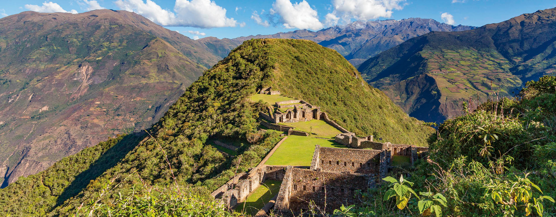
Choquequirao is one of the most beautiful, as well as one of the most challenging treks that Peru has to offer. It is in…
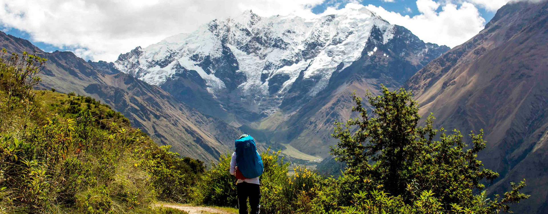
The Salkantay (6264 m/20551 ft) is the most recognized mountain of the Inca empire, situated in the mountain range of Vilcabamba. The daylight in…
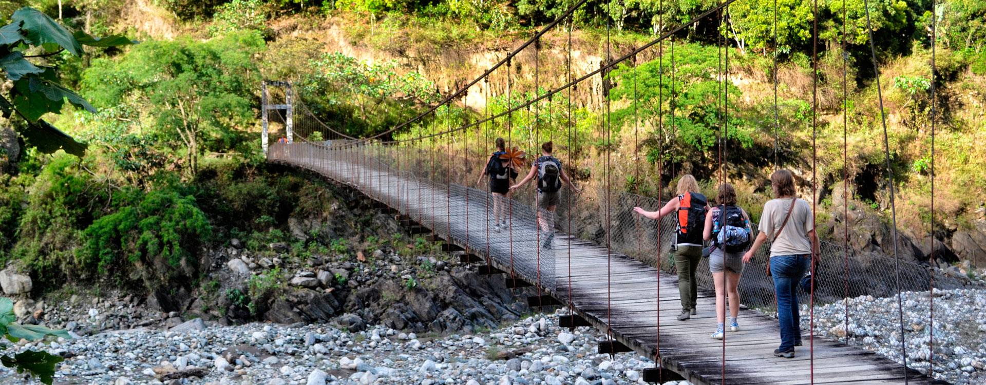
The Inca jungle trek is one of the more adventurous treks, and is said to be a multi-sport adventure. This trek is very famous among…
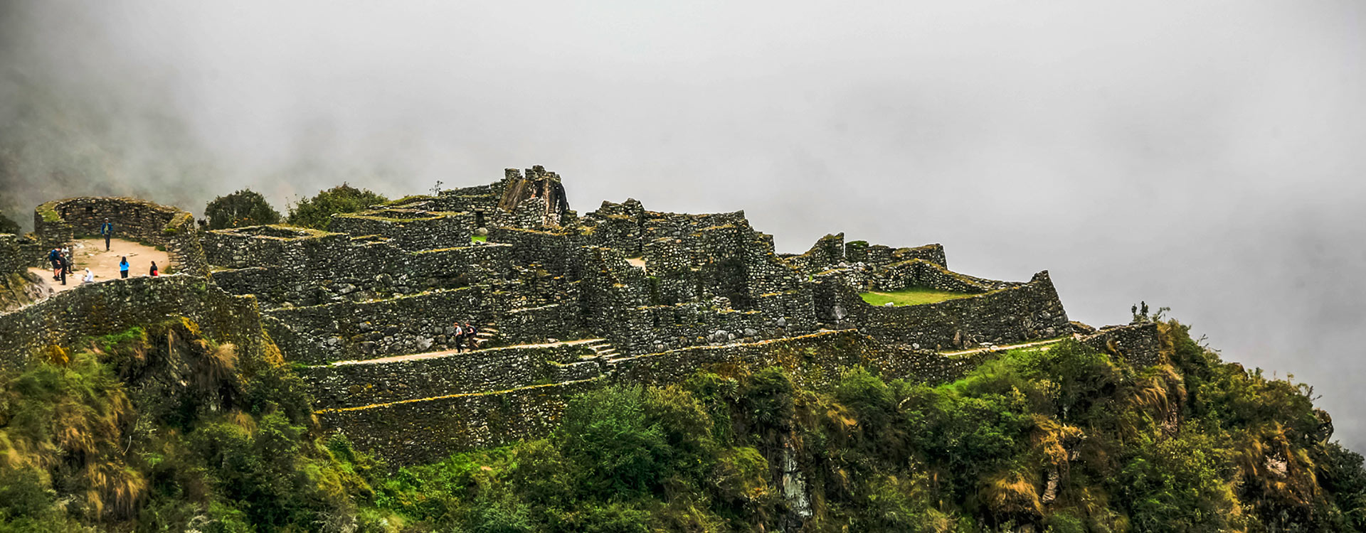
The Inca Trail to Machu Picchu is the most famous trail in South America. It is recognized by the National Geographic as one of…
Since the number of trekking permits is limited to 250 per day (about 200 tourists and 50 trekking staff) it is important to book…
Inca Trail to Machu Picchu is the most famous train in South America. It is recognized by the National Geographic as one of the…
The Inca Trail to Machu Picchu is the most famous trail in South America. It is recognized by the National Geographic as one of…